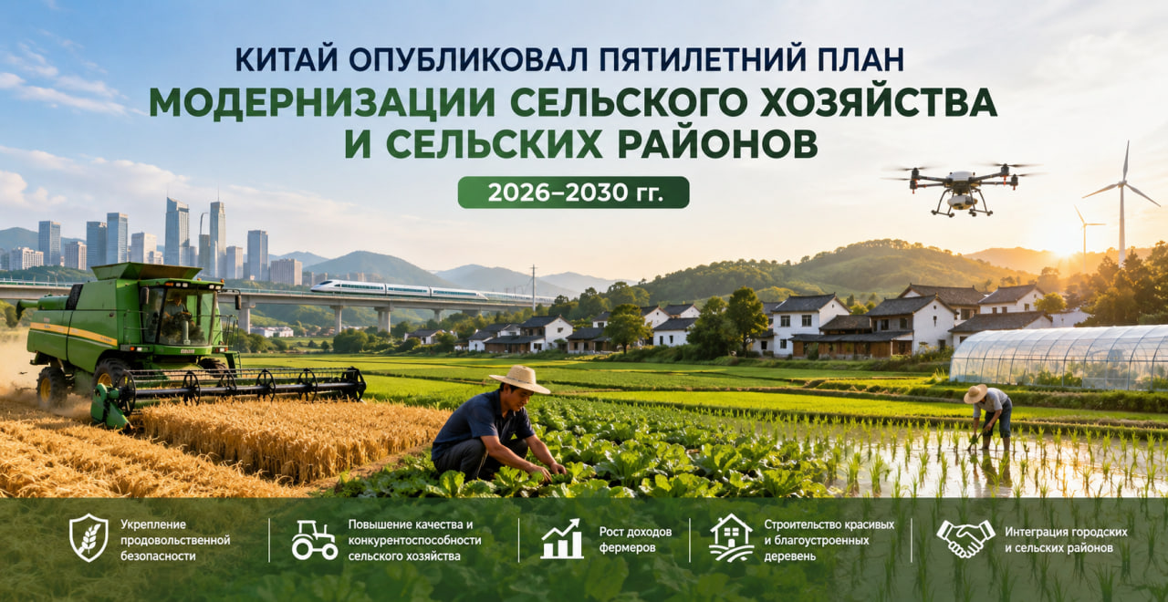
Translated with AI


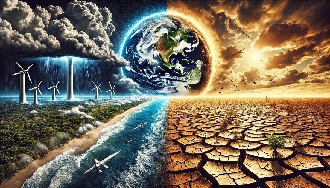


In the coming months, the world may face the return of one of the planet's most powerful climate phenomena—El Niño. According to the World Meteorological Organization (WMO), the probability of its formation this summer is 80 percent, and the probability of it persisting until at least November exceeds 90 percent, the UN press service reports.
Experts warn that El Niño could intensify global warming, increasing the risk of extreme heat, droughts, heavy rainfall, and other dangerous weather events. Its effects could be especially noticeable against the backdrop of recent record-breaking warmth.
Experts attribute the ongoing changes to unusually warm waters in the tropical Pacific Ocean. Observations show that ocean surface temperatures in key areas are gradually approaching thresholds characteristic of El Niño. At the same time, a significant amount of heat has accumulated in the subsurface layers of the ocean. Temperatures there are approximately six degrees Celsius above normal, further contributing to surface warming.
UN Secretary-General António Guterres called for the development of El Niño to be considered an urgent climate warning.
According to him, El Niño conditions will intensify the effects of global warming. He noted that the impacts will be felt more quickly and widely than before, and an effective response requires accelerating the transition to renewable energy sources, protecting the most vulnerable populations, and developing early warning systems.
El Niño is a natural climate phenomenon caused by warming of surface waters in the central and eastern equatorial Pacific Ocean. It typically occurs once every two to seven years and lasts for about a year. However, its influence extends far beyond the Pacific Ocean, altering temperature patterns and precipitation patterns across virtually the entire globe.
World Meteorological Organization Secretary-General Celeste Saulo stressed that the current situation requires heightened preparedness.
She said it's essential to prepare for a potentially strong El Niño event, which could intensify droughts and heavy rains, as well as increase the risk of heatwaves on both land and ocean. She noted that the previous El Niño in 2023–2024 was among the five strongest on record and was a contributing factor to the record-breaking global temperatures of 2024.
Although each El Niño event develops according to its own pattern, there are common consequences. Southern South America, the southern United States, parts of the Horn of Africa, and Central Asia often experience increased rainfall. Meanwhile, Central America, northern South America, the Caribbean, Australia, Indonesia, and parts of South Asia often experience drier conditions.
The WMO's supplemental seasonal forecast points to another alarming trend. Above-normal temperatures are expected in almost all regions of the world from June to August. This could intensify heat stress, accelerate droughts, and increase the likelihood of extreme weather events—from heavy rainfall and flooding to prolonged heat waves.
Scientists emphasize that there is no evidence that climate change is making El Niño more frequent or more intense. However, global warming could amplify the effects of this phenomenon, as warmer oceans and atmosphere create additional conditions for extreme weather.
According to the WMO, modern seasonal forecasts allow countries to prepare for potential shocks in advance—from protecting agriculture and water supply systems to preventing humanitarian crises. Experts believe that now is the time to make decisions and prepare for potential consequences, without waiting for them to worsen.