Translated with AI

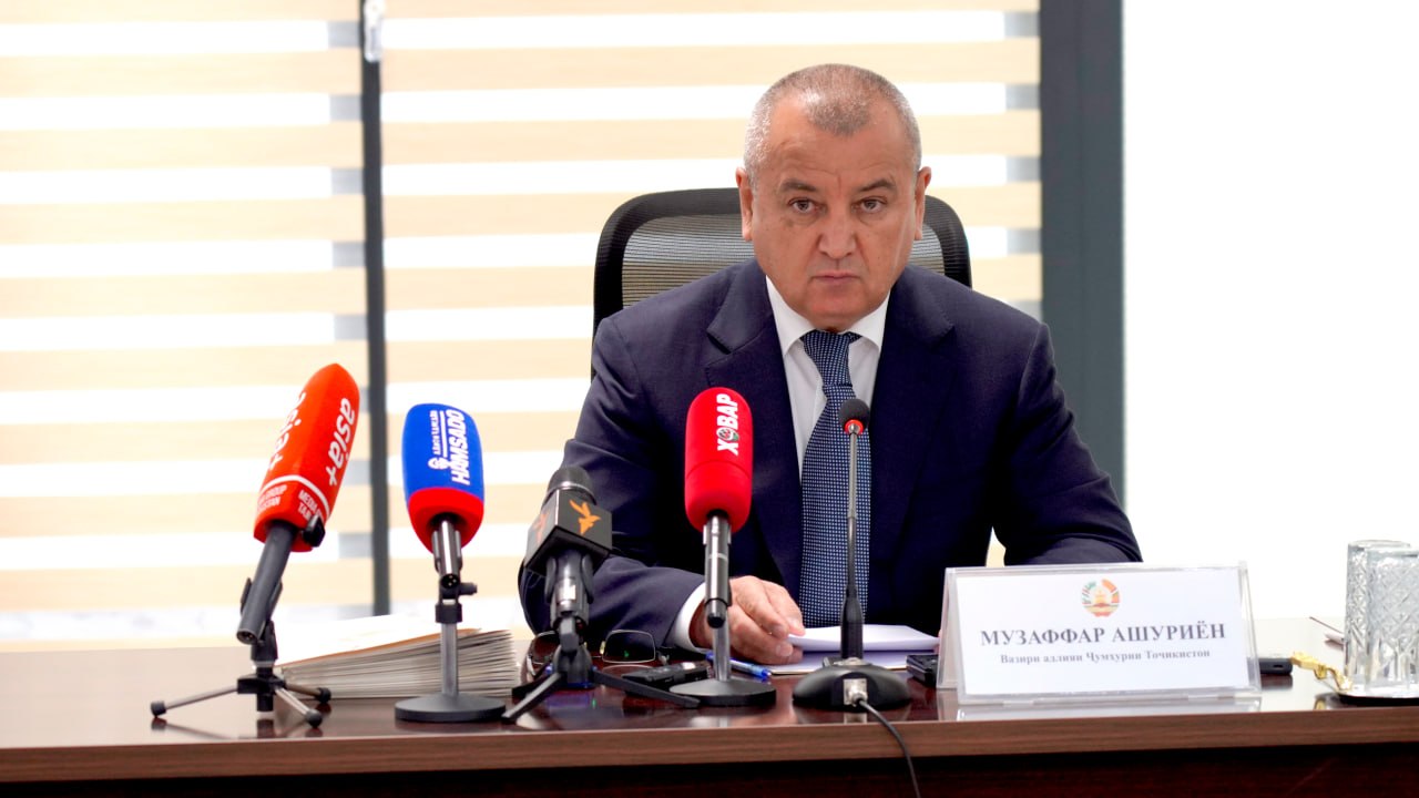

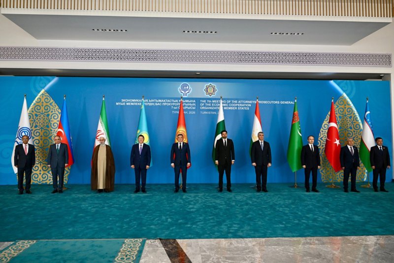


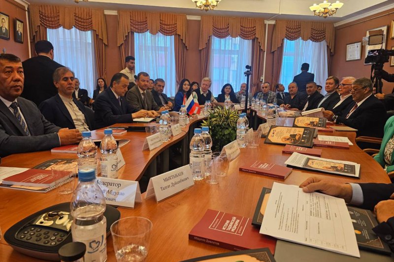










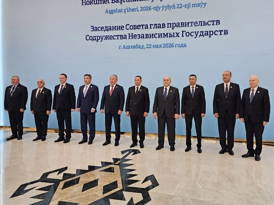
On May 22, 2026, a regular meeting of the Council of Heads of Government of the Commonwealth of Independent States was held in Ashgabat. The meeting was opened and chaired by Deputy Chairman of the Cabinet of Ministers of Turkmenistan, Khodjamyrat Geldymuradov.
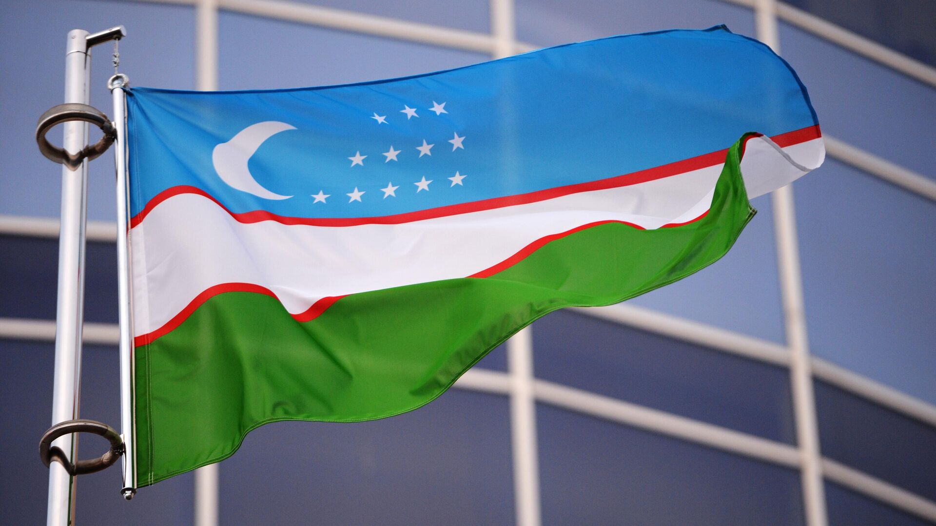
The event was attended by Prime Minister of Azerbaijan Ali Asadov, Prime Minister of Belarus Alexander Turchin, Prime Minister of Kazakhstan Olzhas Bektenov, Chairman of the Cabinet of Ministers and Head of the Presidential Administration of Kyrgyzstan Adylbek Kasymaliev, Chairman of the Russian Government Mikhail Mishustin, Prime Minister of Tajikistan Kokhir Rasulzoda, Prime Minister of Uzbekistan Abdulla Aripov, Permanent Plenipotentiary Representative of Armenia to the statutory and other bodies of the CIS, Ambassador Extraordinary and Plenipotentiary of Armenia to Belarus Razmik Khumaryan, and CIS Secretary General Sergey Lebedev. This was reported by the CIS press service.
In a private meeting, the heads of government exchanged views on current issues of economic cooperation within the CIS. Participants also discussed the implementation of the Interstate Cooperation Program of the CIS Member States in Geodesy, Cartography, Spatial Data, Geoinformation Technologies, Earth Remote Sensing, Cadastral Registration, and Real Estate Rights Registration through 2026.
Oleg Skufinsky, Head of the Federal Service for State Registration, Cadastre, and Cartography of Russia, addressed the meeting participants. He noted that one of the key results of the program's implementation was the creation of the CIS Spatial Data Infrastructure Geoportal.
According to him, the geoportal is a unified geoinformation platform designed to integrate, visualize, search, and provide relevant and legally significant spatial data across the Commonwealth. The platform's primary goal is to provide quick and convenient access to standardized spatial data for citizens, businesses, government agencies, and scientific and educational organizations.
Following the discussion, meeting participants recommended that interested CIS industry cooperation bodies consider using the Geoportal in their activities. They were also asked to submit proposals to the Secretariat of the Interstate Council on Geodesy, Cartography, Cadastre, and Remote Sensing for populating the platform with thematic open-source datasets and for its further development.